Latest Posts in vector

Nicole Lee
November 18, 2021 • 5 min

Online mapping is important and provides us with the ability to visualize geospatial data on the internet. What is it? Why is it important? How can we use online mapping with FME?

Tiana Warner
August 28, 2017 • 4 min

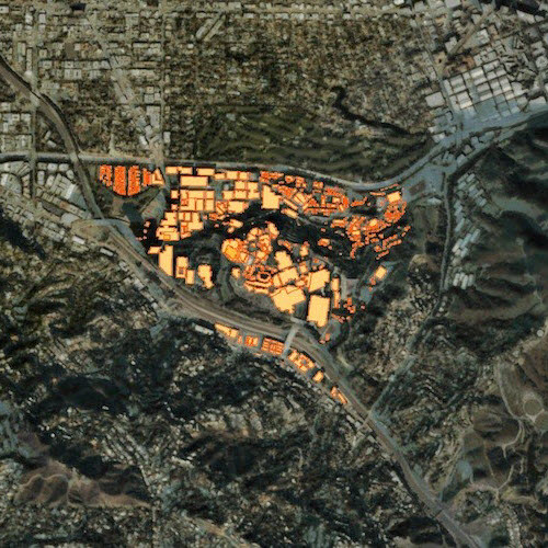
Extracting vector features from an image (or “vectorizing a raster”) involves converting groups of raster pixels into polygons. This is a common scenario for GIS and CA...

Dmitri Bagh
October 19, 2016 • 8 min

Searching through long-forgotten stuff hidden for years in the attic can sometimes bring unexpected treasures. Look at this rare issue of “FME Insider” from pre-cloud days, ma...

Mark Ireland
November 13, 2009 • 6 min

This post is on the subject of city models and how to bring together CAD, GIS, BIM, DEM, raster and other types of spatial data to create a single model. This example includes 3D b...
Showing of 5 posts