
Point Cloud / LiDAR
Efficiently manage and transform data from point clouds.
Get more precise insights.
Integrate point clouds of any size and convert them to the format that best suits your needs.
Data Integration
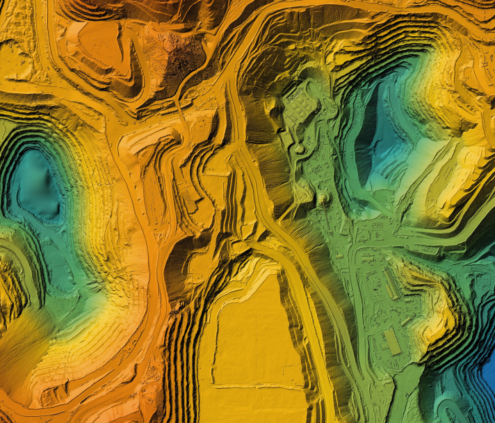
Integrate with raster to see 3D colourized terrain and other data sources.
Data Extraction
Easily extract only the data that you need.
Data Visualization
Get a better understanding of data by transforming it to 3D.
Data Processing
FME’s flexible capabilities ensure that the data gets where you need it, when you need it.
Data Quality
Validate, clean and improve your data for trustworthy and optimized workflows.
Community Tools
Utilize the FME Community for simple support and ideas on how to grow your FME understanding.
FME supports an ever-growing range of data types.
As the data landscape evolves, FME continually adds support for new systems to ensure users can work with their data in the most efficient and effective way possible.


Non-profit, teacher or student?
We have Free Licenses available to help jump start careers or support your learning, research and charity.
See If You Qualify
Questions about the platform?
We love questions, discussions, and providing demos to help you get started on or to continue your data integration journey.
Contact Us
Join the FME Community
Our growing community has a wealth of FME knowledge with over 20,000 active members worldwide, where you’ll find everything from support to training.
Explore the Community