Latest Posts in Raster

Nicole Lee
November 18, 2021 • 5 min

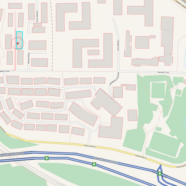
Online mapping is important and provides us with the ability to visualize geospatial data on the internet. What is it? Why is it important? How can we use online mapping with FME?

Dmitri Bagh
January 23, 2019 • 8 min

FME 2019 can recognize objects in images, thanks to a new set of computer vision transformers. Here’s how you can train FME to recognize custom objects in large volumes of incomi...

Dmitri Bagh
August 13, 2018 • 6 min

With CesiumJS, you can create a web visualization to display your geospatial data in a browser—making it easy to share your data with anyone, anywhere. Here are the steps I took ...

Stephanie Warner, Tiana Warner
October 30, 2017 • 1 min

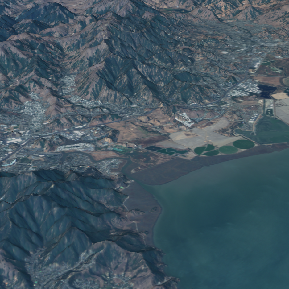
  See Also Unleash the Power of Satellite Images Integrate Planet Satellite Imagery Blog: 3 Inspiring Earth Observation Apps Built Using FME Cloud Webinar, Part 1: Integratio...

Tiana Warner
August 28, 2017 • 4 min

Extracting vector features from an image (or “vectorizing a raster”) involves converting groups of raster pixels into polygons. This is a common scenario for GIS and CA...

Tiana Warner
December 5, 2016 • 8 min

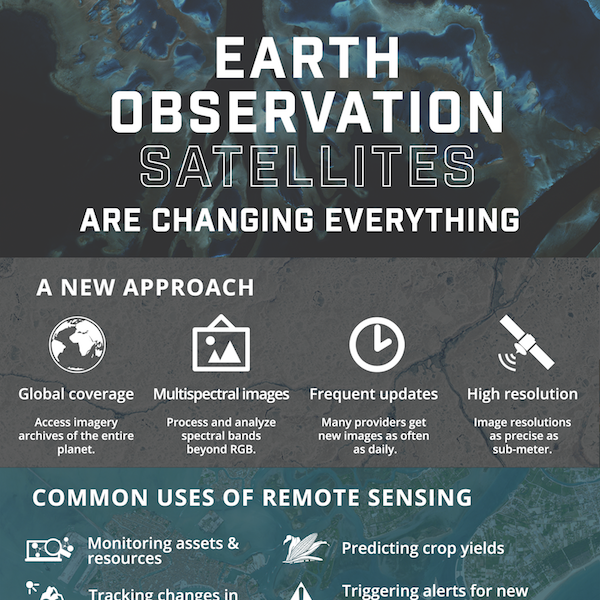
Small satellite technology is completely changing the world. Here’s what Planet is doing to revolutionize Earth Observation data, and how you can leverage satellite trends to get...
Showing of 42 posts