Latest Posts in OpenStreetMap

Tiana Warner
April 25, 2014 • 7 min

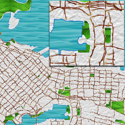
Mapnik is a free, open source toolkit that takes vector and raster spatial data and renders it into a beautiful image. As of FME 2014, FME and Mapnik have been brought together to...

Stewart Harper
July 28, 2011 • 4 min

Base maps are integral to GIS, allowing us to give our own data context. There are many options as to where you can source your base map, ranging from full commercial offerings to ...

Michael Weisman
January 5, 2011 • 5 min

2010 was a great year for geo. Consumer geo apps like Fourquare and Gowalla took off, while us professional geonerds got some cool new tools too. While making predictions can be a ...

Michael Weisman
November 24, 2010 • 3 min

Last week I attended WhereCamp5280 in Denver, in addition to the pre-camp “Hookybob”. It was a fun couple days of nerding out with others in the industry, and it was great catc...

Mark Ireland
October 4, 2010 • 8 min

The fact FME now has an OpenStreetMap Writer in FME2011 is likely to either excite you greatly or make you shrug your shoulders and say "meh". What you meh-sayers need is a good...

Michael Weisman
September 29, 2010 • 1 min

Some more great news on the OpenStreetMap (OSM) front. Back in July, MapQuest announced that they were moving towards using OSM data to power their mapping service and they release...

Mark Ireland
April 14, 2010 • 12 min

This use case is intended to show a real world scenario for FME dynamic workspaces, and how to integrate dynamic functionality with batching tools like a Dataset Fanout.

Michael Weisman
March 17, 2010 • 2 min

It’s true. Getting data into OpenStreetMap can, at times, be difficult. Now don’t get me wrong, there are some great applications out there for pulling data off your GPS, or tr...
Showing of 10 posts