Latest Posts in OGC

Dean Hintz
March 17, 2021 • 11 min

By utilizing open standards, users can choose best of breed tools for each application and move data between them with open methods. See where the OGC fits in to all of this, and l...

Tiana Warner
September 9, 2014 • 7 min

As a software developer, coding something that’s already been designed, implemented, and optimized is a pretty gigantic waste of time. Open source libraries help developers avoid...

Tiana Warner
April 25, 2014 • 7 min

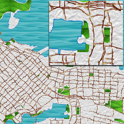
Mapnik is a free, open source toolkit that takes vector and raster spatial data and renders it into a beautiful image. As of FME 2014, FME and Mapnik have been brought together to...

Paul Nalos
June 7, 2012 • 5 min

SQL Server’s spatial capabilities have evolved significantly since their introduction in the 2008 release. Given the well documented beta (CTP), the March RTM, and April release,...

Paul Nalos
October 27, 2011 • 3 min

While we like to talk about the unending creation of spatial formats (no one format fits every need), I find it interesting that software interfaces designed to hide differences be...

Don Murray
July 20, 2011 • 4 min

I recently attended the INSPIRE Conference in historic Edinburgh. Like last year, it was again a great gathering of folks working to deliver a world leading Spatial Data Infrastruc...

Michael Weisman
September 3, 2010 • 2 min

This blog has covered the wonderful SpatiaLite database several times. To quickly review, SpatiaLite is a full-blown spatial database, complete with not only with spatial data type...
Showing of 21 posts