Latest Posts in imagery

Tiana Warner
August 28, 2017 • 4 min

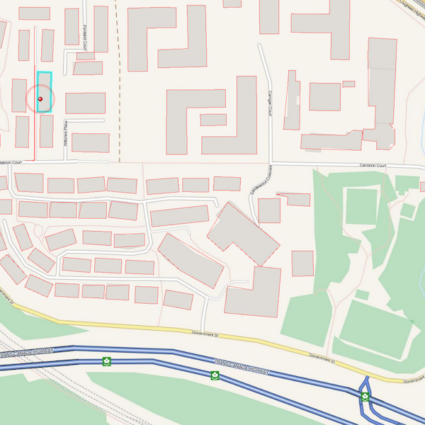
Extracting vector features from an image (or “vectorizing a raster”) involves converting groups of raster pixels into polygons. This is a common scenario for GIS and CA...

Tiana Warner
December 5, 2016 • 8 min

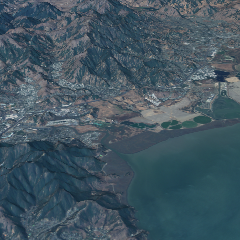
Small satellite technology is completely changing the world. Here’s what Planet is doing to revolutionize Earth Observation data, and how you can leverage satellite trends to get...

Tiana Warner
July 17, 2014 • 13 min

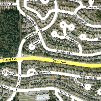
The beautiful thing about rasters is that they’re useful for both visualizing and mathematical analysis. They’re simple, versatile, and the best way to represent data on a cont...

Mark Ireland
December 22, 2011 • 9 min

If you've installed FME2012, or listen in to the @FMEEvangelist on Twitter, you'll be aware that some transformers in 2012 have a new option: one to run the transformation as multi...

Mark Ireland
December 14, 2007 • 6 min

1) @Tcl2 Temporary Filenames This is a new ability (build 5147+) with our @Tcl2 function to generate temporary file names within a TCL script. The syntax is FME_TempFilename [] [] ...
Showing of 8 posts