Latest Posts in Coordinate Systems

Mark Ireland
April 8, 2021 • 12 min

Spatial is special for a couple of reasons; one being that it's a field that generates a huge amount of terminology and acronyms! I'm here to cover some of the most common acronyms...

Paul Nalos
January 4, 2012 • 3 min

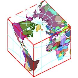
Recently, one of our users asked about projecting the earth onto a gnomonic cube. While it isn’t often you’d want to look at the world this way, the result is visually ...

Paul Nalos
August 31, 2011 • 3 min

GPS has made it possible to make highly accurate, low distortion maps covering the whole world. Coupled with the ability to measure location quickly and cheaply (or very precisely ...

Mark Ireland
June 20, 2011 • 6 min

Sometimes we at Safe Software make changes to FME that are not particularly spectacular, nor particularly interesting. But such changes are important, because they ensure when you ...

Paul Nalos
May 5, 2011 • 3 min

Sometimes it’s appealing to ignore the curvature of the earth. For example, a building blueprint may have an origin that’s associated with a known location and orientation, wit...
Showing of 22 posts