
Top 9 GIS Skills in High Demand in 2022

So you want to advance your career in GIS. Great! This is a booming profession, and there’s a lot of demand for experienced people. Many different industries need GIS analysts and technicians—governments, telecom, environmental, utilities, education, and much more.
With so many systems available to GIS departments, how are you supposed to know which ones to learn? How do you narrow down the skills that will make you a competitive job applicant? Beyond getting a degree in GIS, taking official training and even getting certified in the specific skills an employer is looking for will help set you apart from other applicants. Here are specific skills and software to study that will boost your resume.
1. Understand a wide range of formats
As a GIS technician/analyst, you’ll have to work with a lot of different types of data, including CAD, databases, remote sensing, satellite imagery, LiDAR, IoT and sensors, building information modeling (BIM), and cloud services. It’s a good idea to become familiar with these formats because you’re likely to have to work with them at some point. For example, you’ll find about as many GIS job postings asking for AutoCAD proficiency as those asking for ArcGIS, so it’s worth becoming familiar with how CAD files and spatial models work.
Consider taking training and even getting certified in popular technologies, like Autodesk AutoCAD and Revit, and Amazon Web Services (AWS). These skills and certifications are sure to boost your resume.
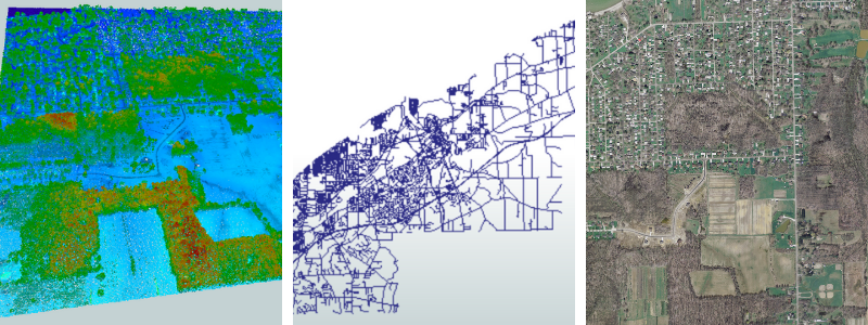 An example of different data formats covering the same area: point cloud (left), Shapefile (middle), raster (right).
2. Become proficient with Esri software
It should come as no surprise that Esri is one of the first items on this list. Esri products dominate the GIS software market, and ArcGIS is always listed in GIS job postings, so make sure you’re comfortable using this software. The best way to study Esri outside of a GIS program is to take Esri training online, and then get certified via the official Esri certification program.

3. Know how to create spatial datasets
In addition to working with and managing data, you will also have to create it in the form of maps, cartography, 3D models, and more. This includes understanding coordinate systems and how they impact the accuracy of your data.
Other than ArcGIS, it’s also worth checking out other software designed for creating maps (e.g. CARTO) and 3D models (e.g. SketchUp).
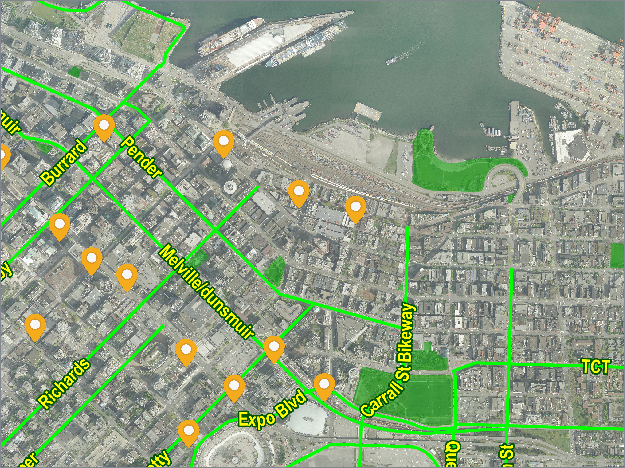 Image from MapnikRasterizer documentation
4. Learn database management and SQL
Part of your job in GIS will involve relational database management (RDBMS), so it’s good to familiarize yourself with database management and SQL. Consider going through Oracle training and certification online, particularly the MySQL certification path. You might also want to familiarize yourself with other popular relational databases, like PostgreSQL, SQLite, and SQL Server.
5. Learn FME
FME is a data integration platform that can save you a lot of time and effort. It’s the best way to convert data between GIS and CAD, perform data validation/QA, transform data models, and perform a lot of other data manipulation tasks. FME is often listed in GIS job postings because it’s a powerful tool for integrating various data formats and technology.
It also offers advanced workflow automation—for example, running tasks on a schedule, as a web service, or in response to an event. You can use it to create apps that end users can access to run self-serve data workflows, such as a data portal or validation service.
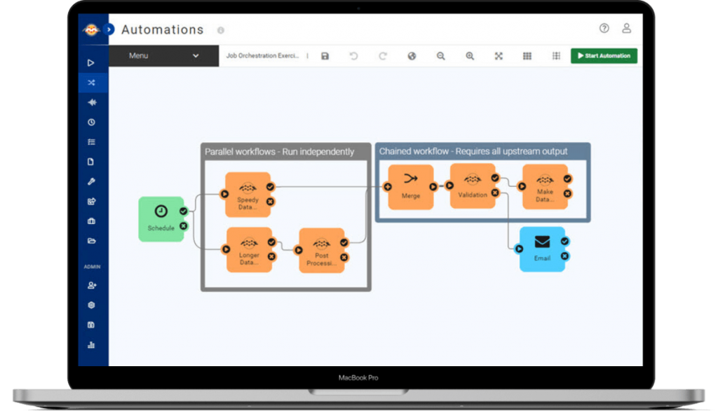 FME Server Interface.

Conquer FME’s learning curve through an official training program like FME Academy, and check out the FME Grant Program for free licenses for students and recent graduates.
6. Know how to analyze spatial data
In a GIS role, you’ll have to analyze spatial data to help guide decision-making. Business intelligence software like Tableau can come in handy for visualizing data and generating insight, while some of the tools mentioned above can also help you gather intel from datasets and imagery.
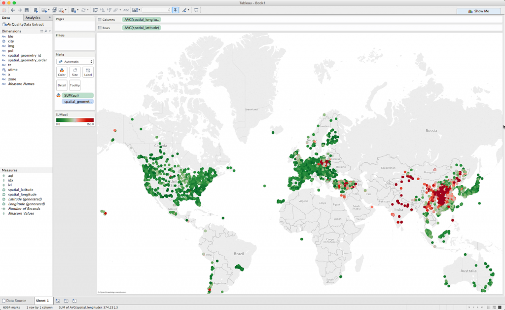 Tableau Interface

7. Learn how to publish and share spatial data
Spatial datasets often need to be published and shared via reports, web portals, applications, and more. The tools above offer ways to do all of these, including automated data delivery, so make sure you understand how to do these tasks.
8. Study open-source applications
Become familiar with open-source GIS applications, and learn how to use some of the more common ones. For example, QGIS is an open-source alternative to Esri software, and it’s often listed in GIS job postings. Some companies prefer QGIS over Esri because it is open source, and some use both, so it would be an asset to your resume to be proficient in both.
9. Learn to code
Easier said than done, of course, but you don’t have to be a programming expert right away. Python is often used to manage databases, extend software like ArcGIS, QGIS, and FME, and create graphical user interfaces—plus, it’s the most-requested coding language in GIS-related jobs. It’s a good idea to take some time to learn Python, as you’ll probably have to write code at some point in your career.
Other programming skills like HTML and JavaScript are also useful for building web interfaces and browser-based mapping applications.
There are a lot of great online courses for learning to code, like Codecademy.
Conclusion
When working in GIS, it’s important to be familiar with various data formats and software, like CAD, rasters, BIM, and LiDAR, as well as how to perform tasks like creating spatial datasets, managing databases, building web applications, data integration, and workflow automation. Check off a few (or all!) of the above skills, and you’ll be an asset to any GIS team!
Explore more blog content headline

Data-Driven Marine Operations: 5 Ways to Generate Actionable Insights from Ship to Shore

Introducing FME Form 24.0: Redesigned User Experience for Focus and Consistency


[New!] AI Assist in FME: How to Build Better Data Integration Workflows with the Help of AI