

Data-Driven Marine Operations: 5 Ways to Generate Actionable Insights from Ship to Shore

All your Safe Software news, all in one place.
Stay up to date with everything happening in our world with the latest press releases, event news, product launches and more.

[New!] AI Assist in FME: How to Build Better Data Integration Workflows with the Help of AI

Introducing FME Form 24.0: Redesigned User Experience for Focus and Consistency

6 Data Integration Trends to Watch in 2024

AI and FME: 12 Inspiring Scenarios for Data Integration


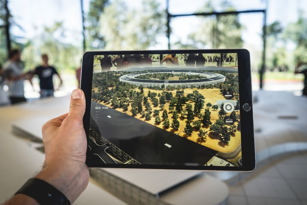
A 5-Step Cartography Guide by Red Geographics


Locus leverages FME Accelerator to boost the data professional’s toolkit

How Understanding Situational Awareness Principles Can Empower Your Spatial Data Systems


Spatial Data Migration 101: Ultimate Guide to Moving Data

GIS Governance 101 with FME by Consortech

How to Remove Data Silos and Information Silos For Good


Learn how to maximize your data and minimize your efforts with FME
Join our free and interactive workshop to learn how to make the most use out of your data with FME. The FME Accelerator will show you the basics of how to automate your data integration workflows and connect to 450+ formats.
Non-profit, teacher or student?
We have Free Licenses available to help jump start careers or support your learning, research and charity.
See If You Qualify
Questions about the platform?
We love questions, discussions, and providing demos to help you get started on or to continue your data integration journey.
Contact Us
Join the FME Community
Our growing community has a wealth of FME knowledge with over 20,000 active members worldwide, where you’ll find everything from support to training.
Explore the Community